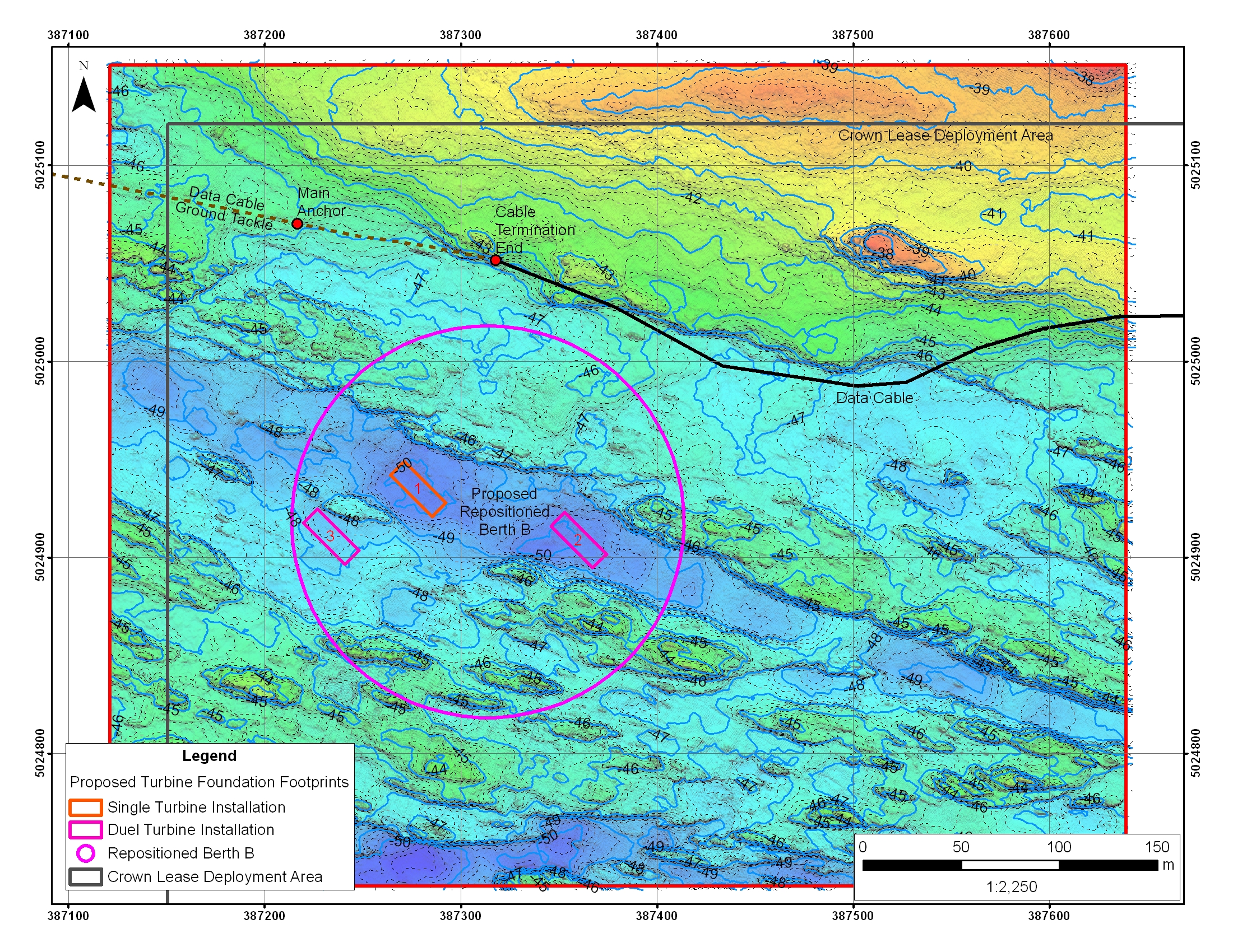
How we use GIS
We use Geographic Information Systems (GIS) as a standalone charting and analysis tool. It is used to support all aspects of Seaforth operations, from the planning of surveys, preparing figures for proposals and reports, preparation of maps and charts to fulfill client requests, and to quality control surveyed datasets.
A GIS is essentially a grouping of organized spatial datasets, both vector and raster based, that share a common theme. It is a data management tool. The data contained within the GIS can be edited and analyzed, with new datasets derived from pre-existing ones. GIS is also a data presentation tool where the data within may be visualized in many ways. For example, data may be visualized together by overlaying one dataset on top of another.
We also use GIS to support field survey activities, such as the mapping of installed buried cable positions as found by a cable locator device.