Marine Geophysical / Geotechnical Survey Services
Marine geophysical and geotechnical surveys are the core of Seaforth’s services.
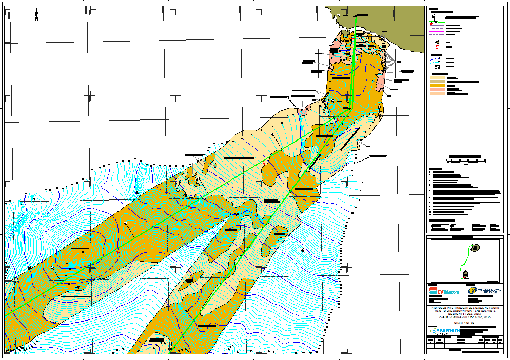
The information obtained through geophysical and geotechnical surveys facilitates the development of sub-sea engineering concepts, allowing design and implementation decisions to be made in a timely and cost-effective manner.
Seaforth conducts comprehensive, multidiscipline marine surveys to provide the precise information required for design, engineering and installation of marine infrastructure. These projects may include:
- Cable and pipeline route surveys and inspections
- Port infrastructure development
- Oil & gas site surveys and inspection
- Engineering support
In addition to engineering-based project support, Seaforth also conducts environmental and research-based surveys. These surveys include, but are not limited to:
- Environmental research, assessment & monitoring
- Coastal and benthic habitat mapping
- Search & recovery
- UXO surveys
Seaforth owns, maintains and utilizes a comprehensive suite of survey equipment to undertake these surveys, including:
- Multibeam and singlebeam echosounders
- Water column profiling underway Sound Velocity Profile (SVP) and CTD (conductivity/salinity, temperature, density/pressure)
- Sidescan sonars, scanning sonars
- Seafloor imagery (photography and video)
- High-resolution subbottom profilers (seismic, chirp, boomer, parametric & sparker)
- Piston/Gravity coring and vibracoring
- Magnetometers
- Grab sampling