Services
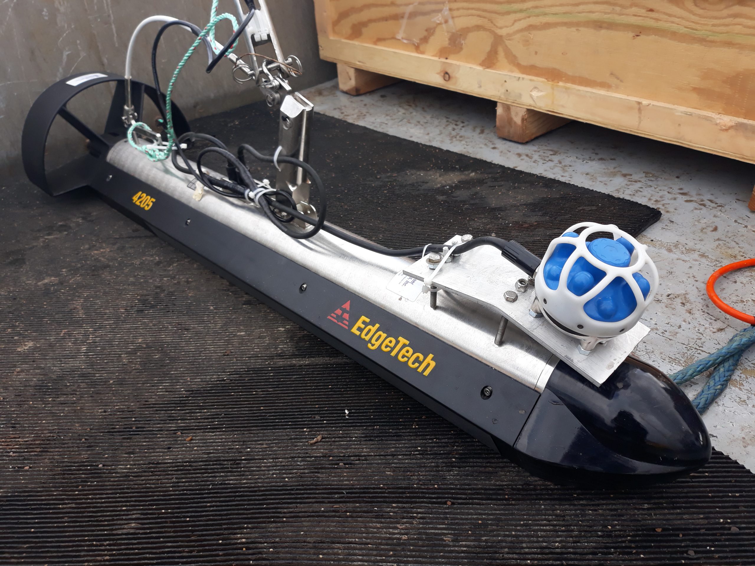
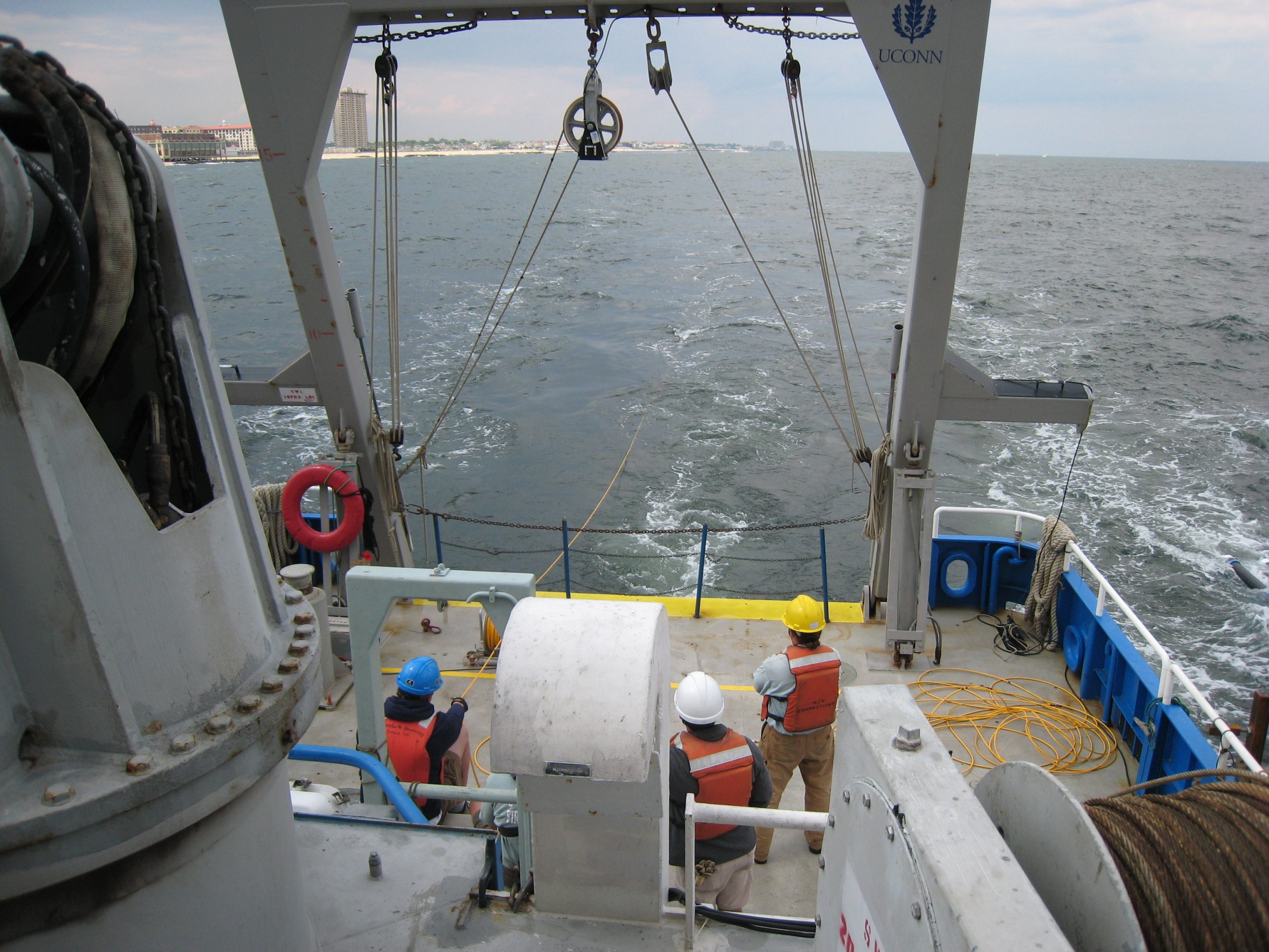
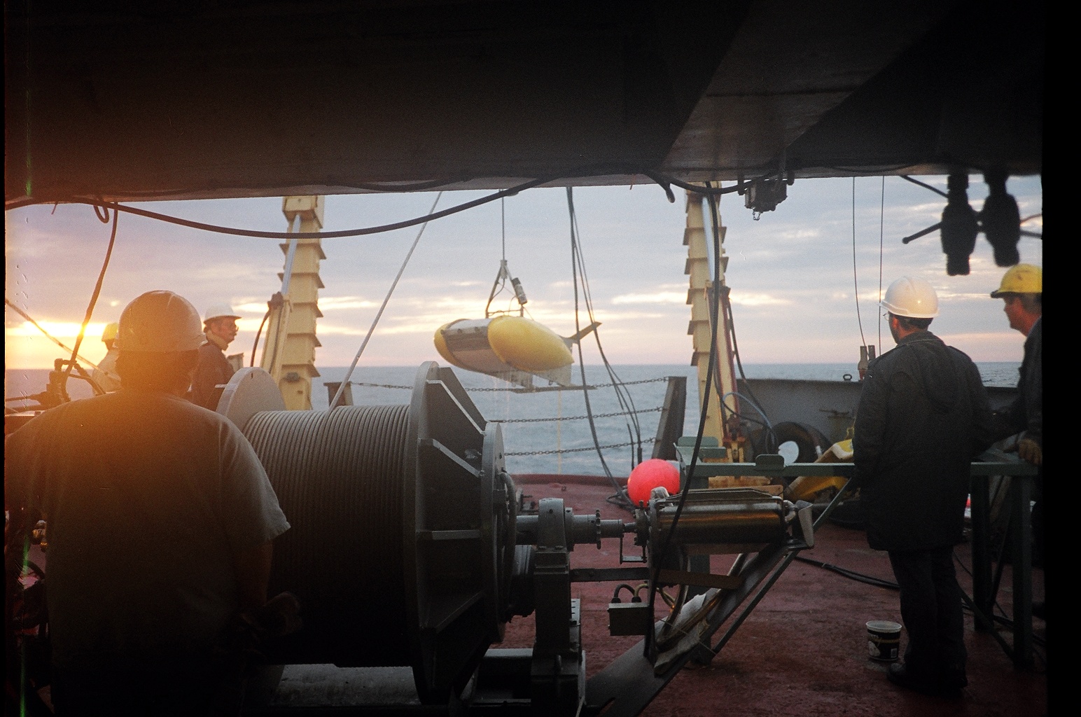
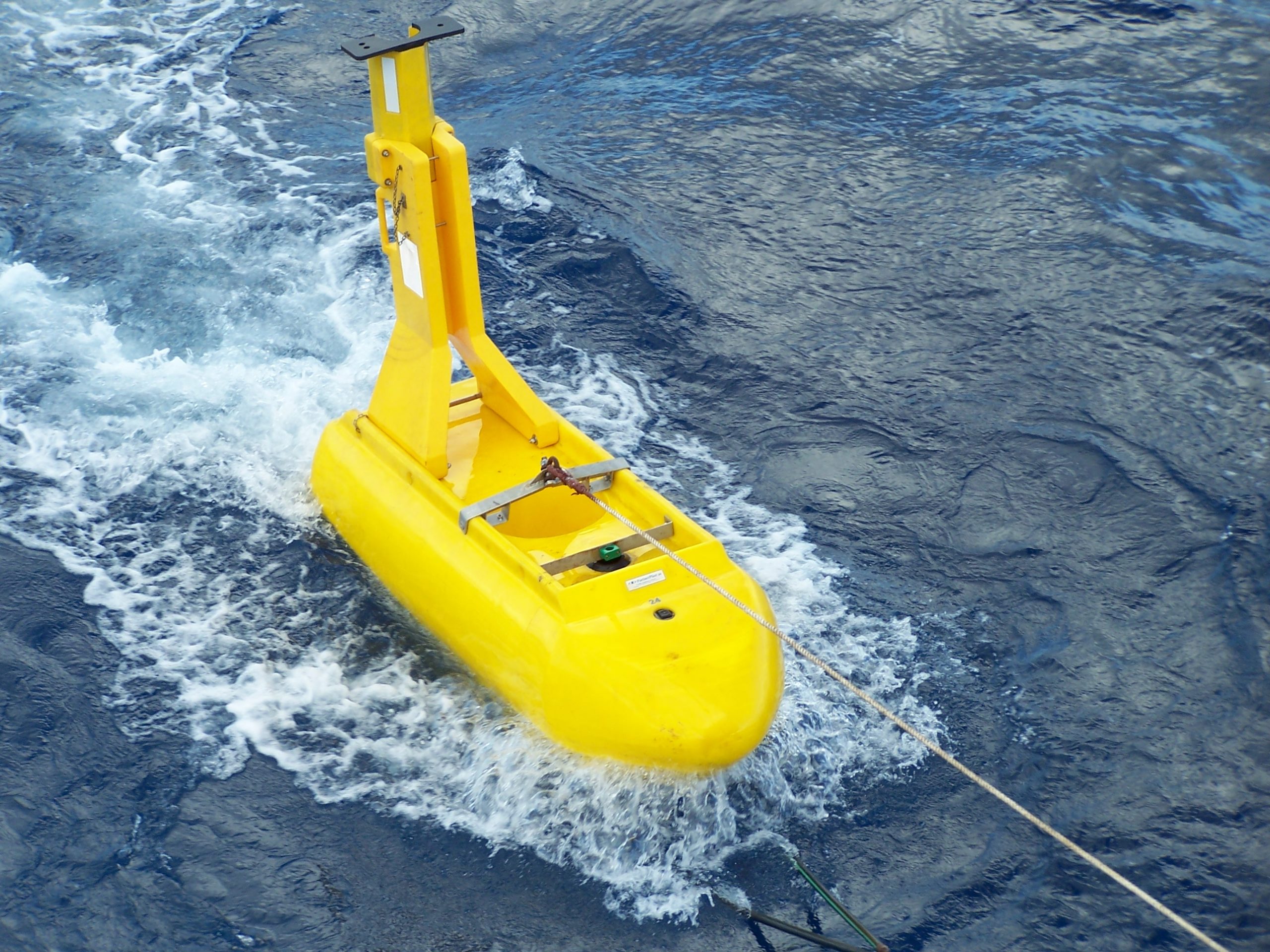
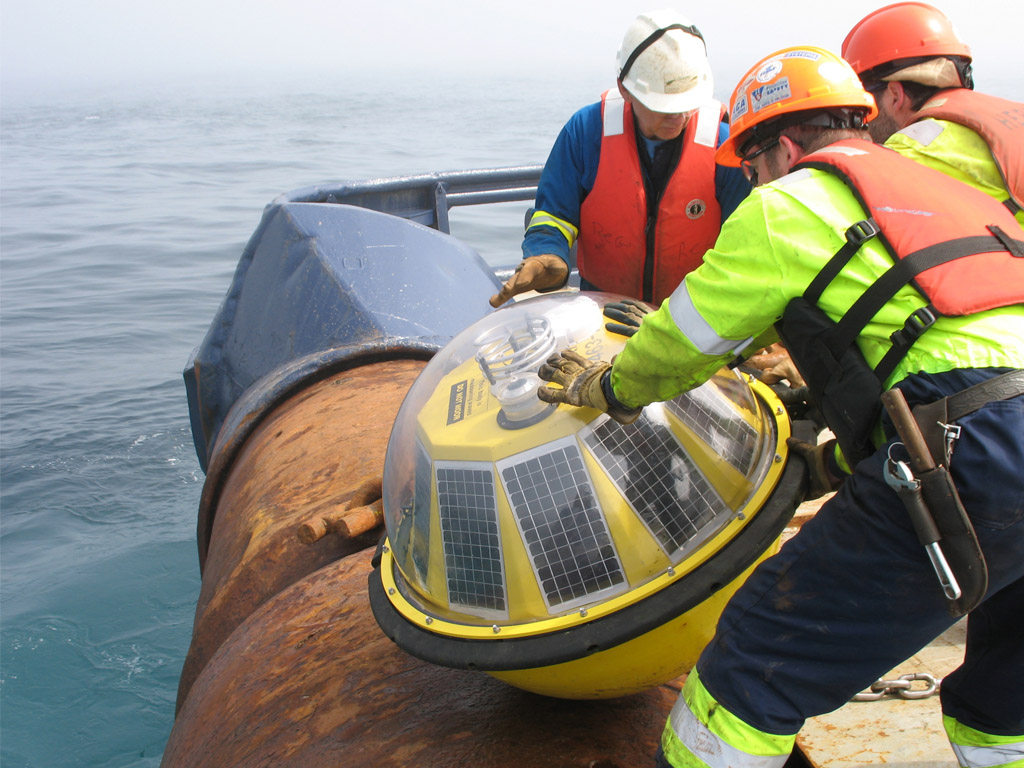
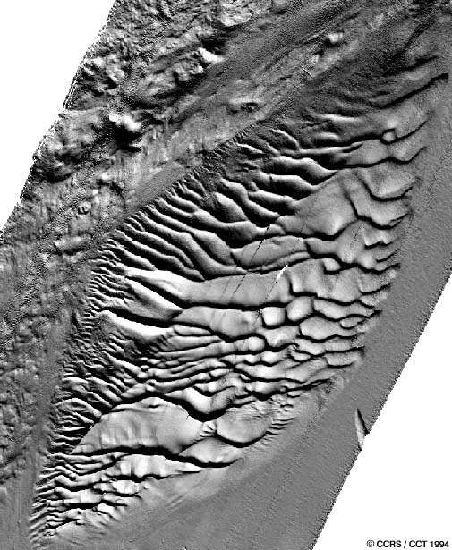
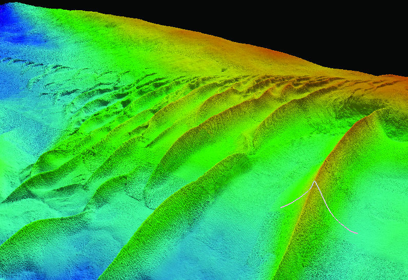
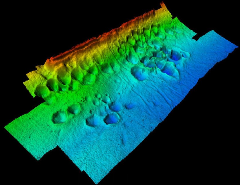
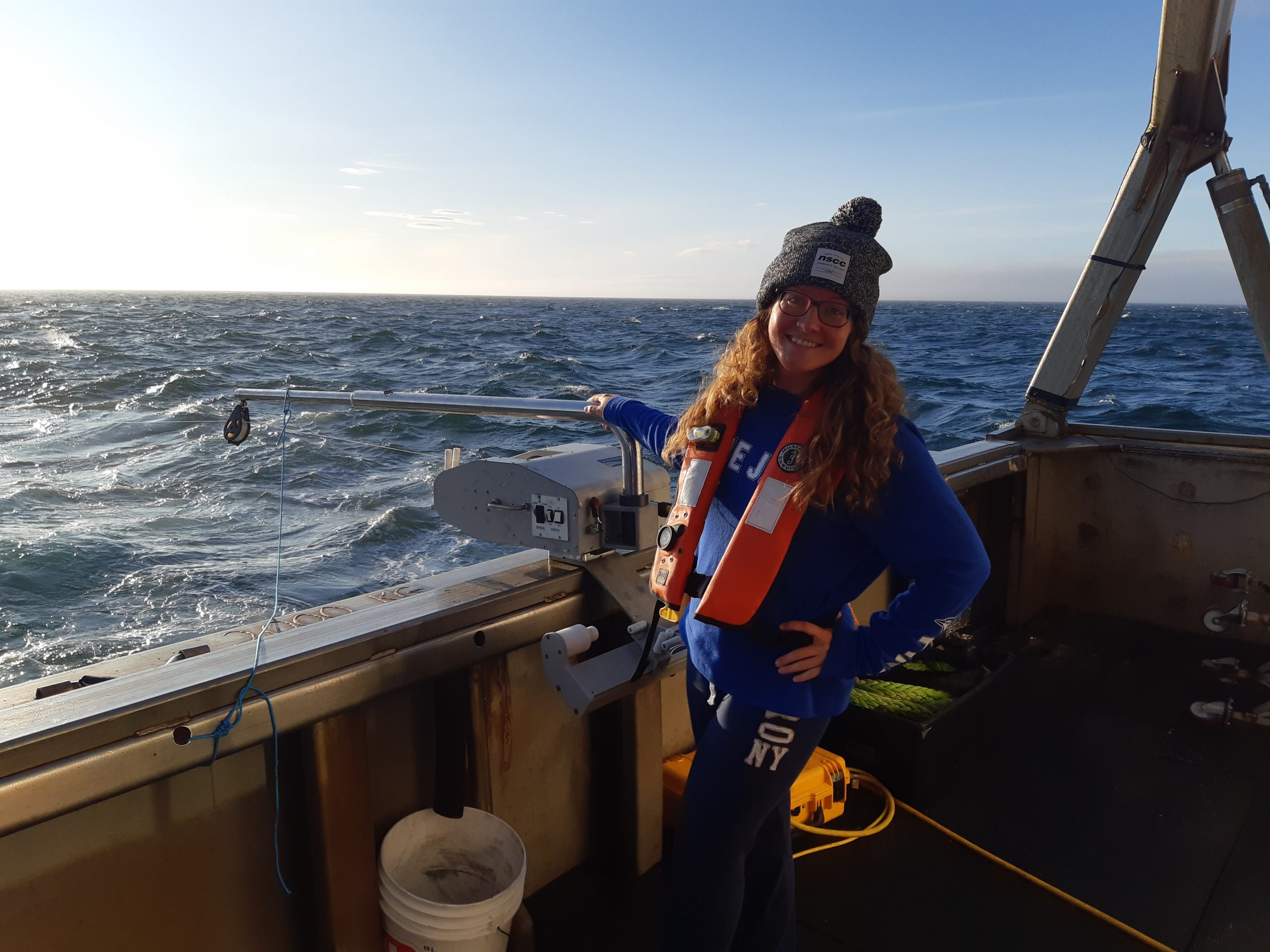
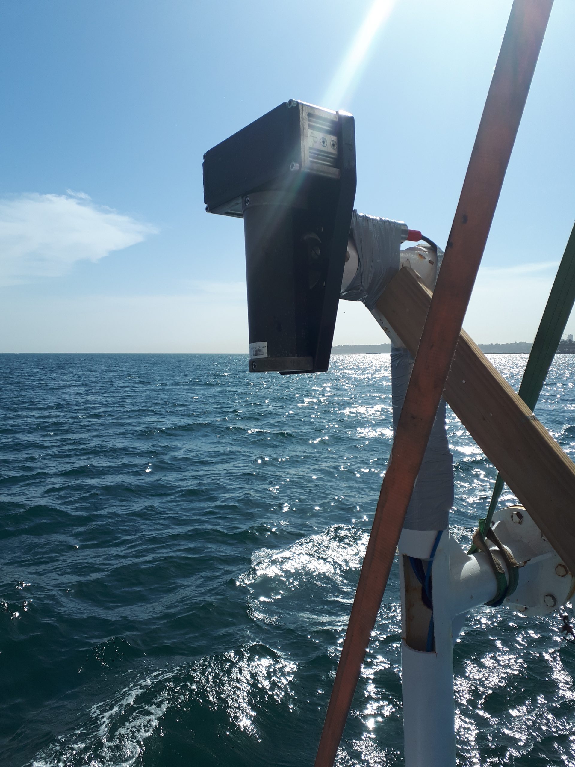
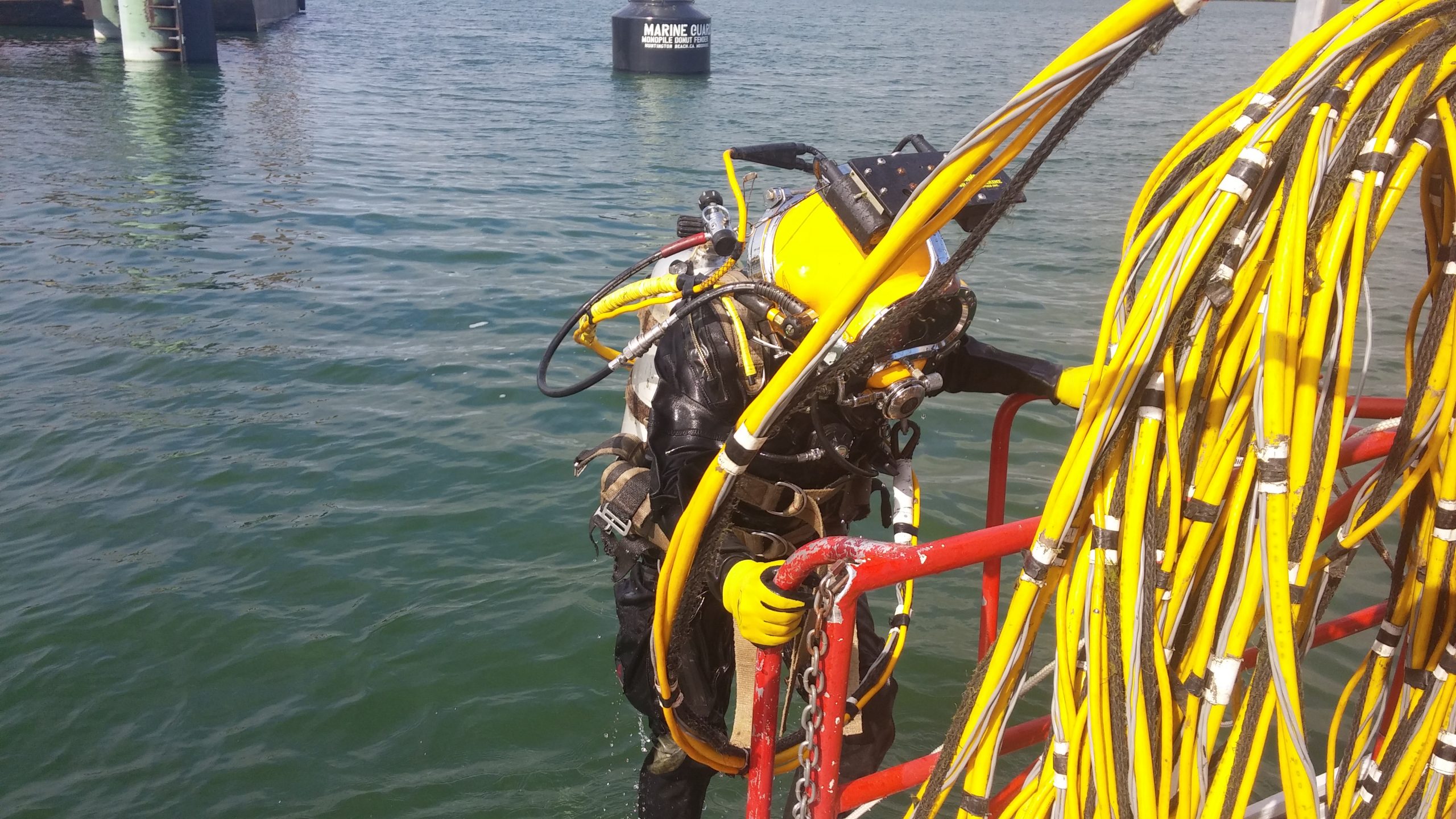
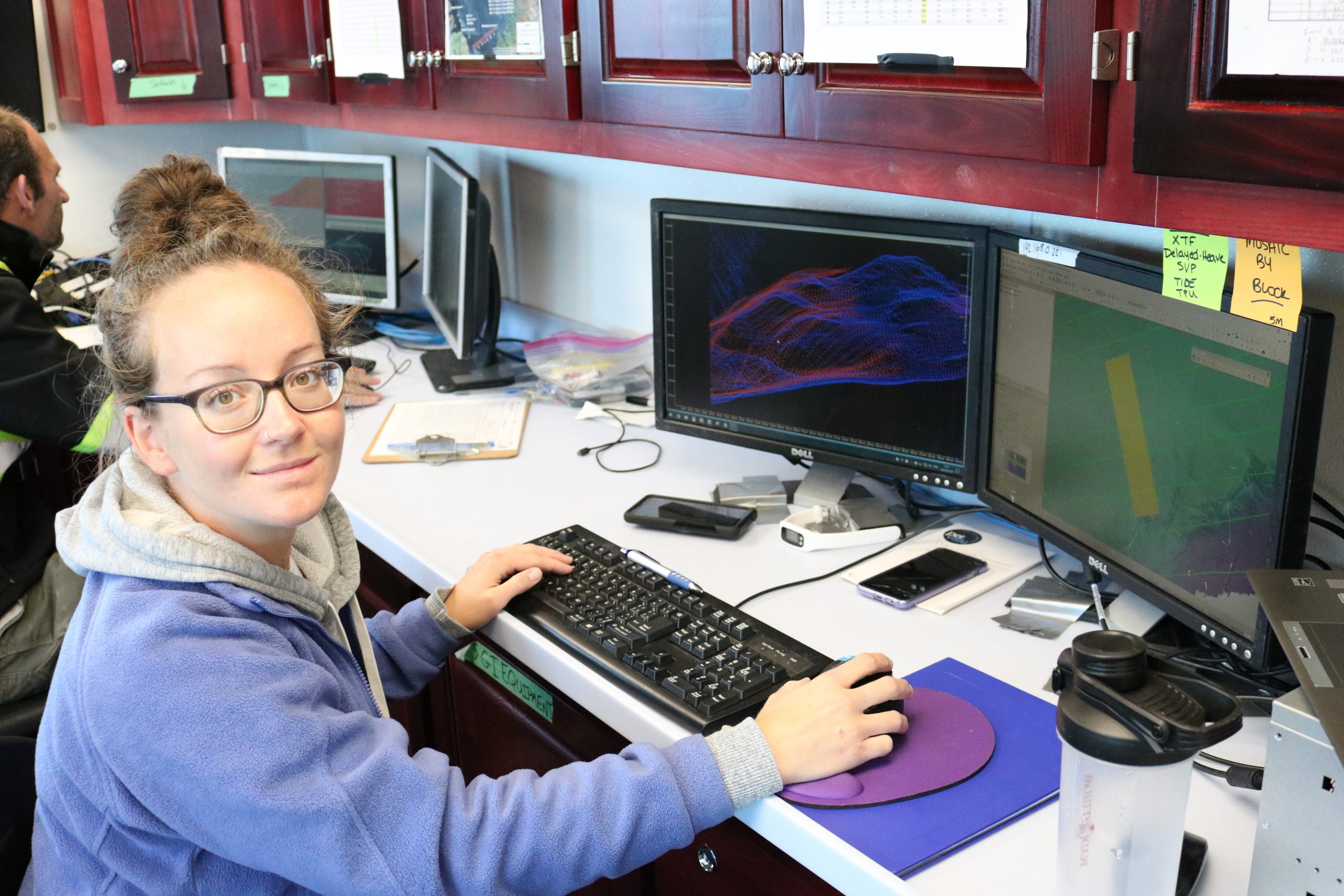
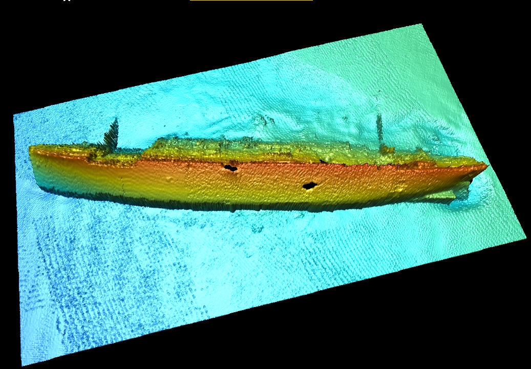
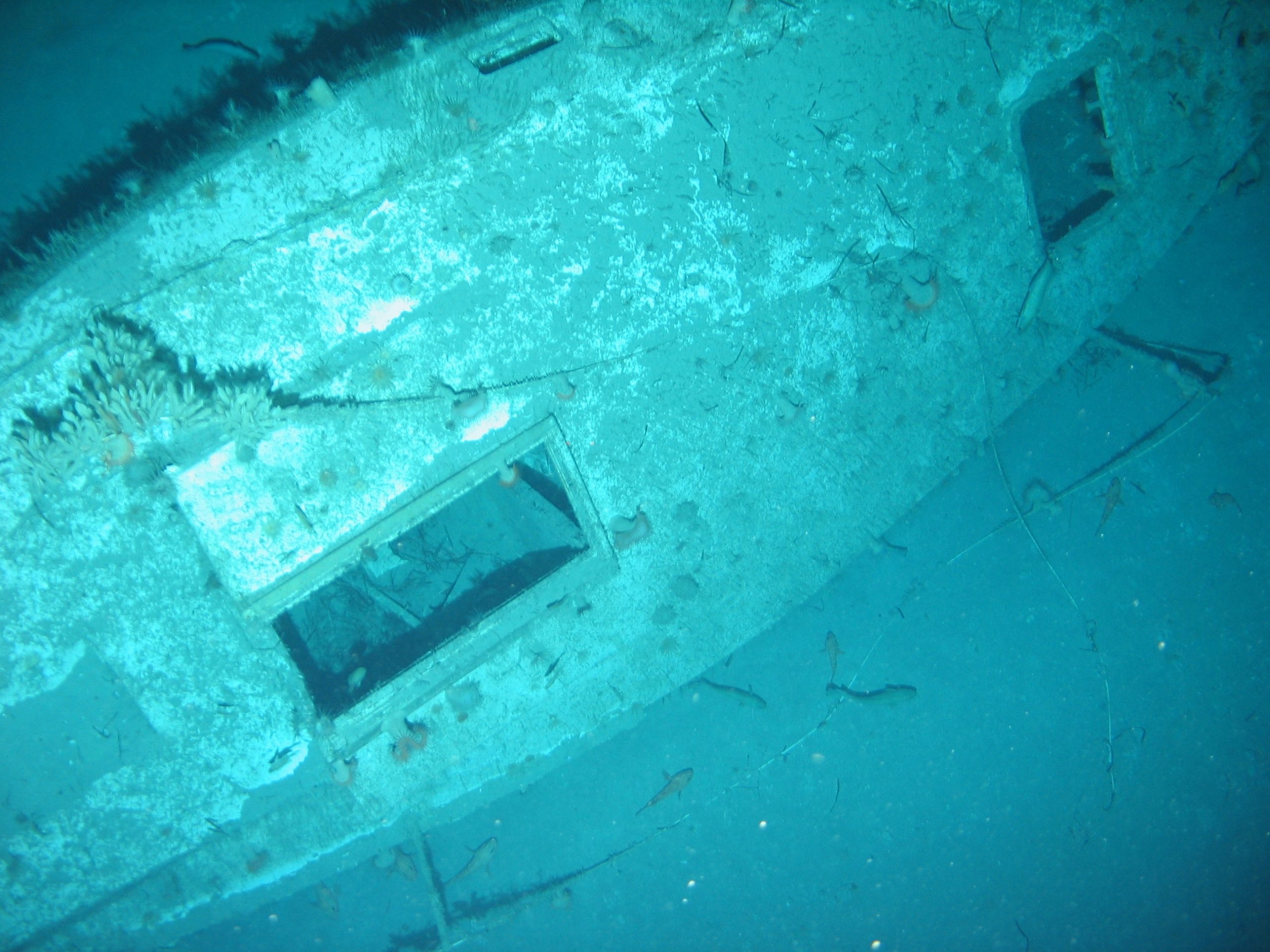
Seaforth Geosurveys Inc. offers innovative marine geomatics solutions ranging from general ocean mapping to comprehensive hydrographic & oceanographic surveys in support of engineering and environmental projects. Our areas of specialization include:
- Hydrographic and oceanographic surveys
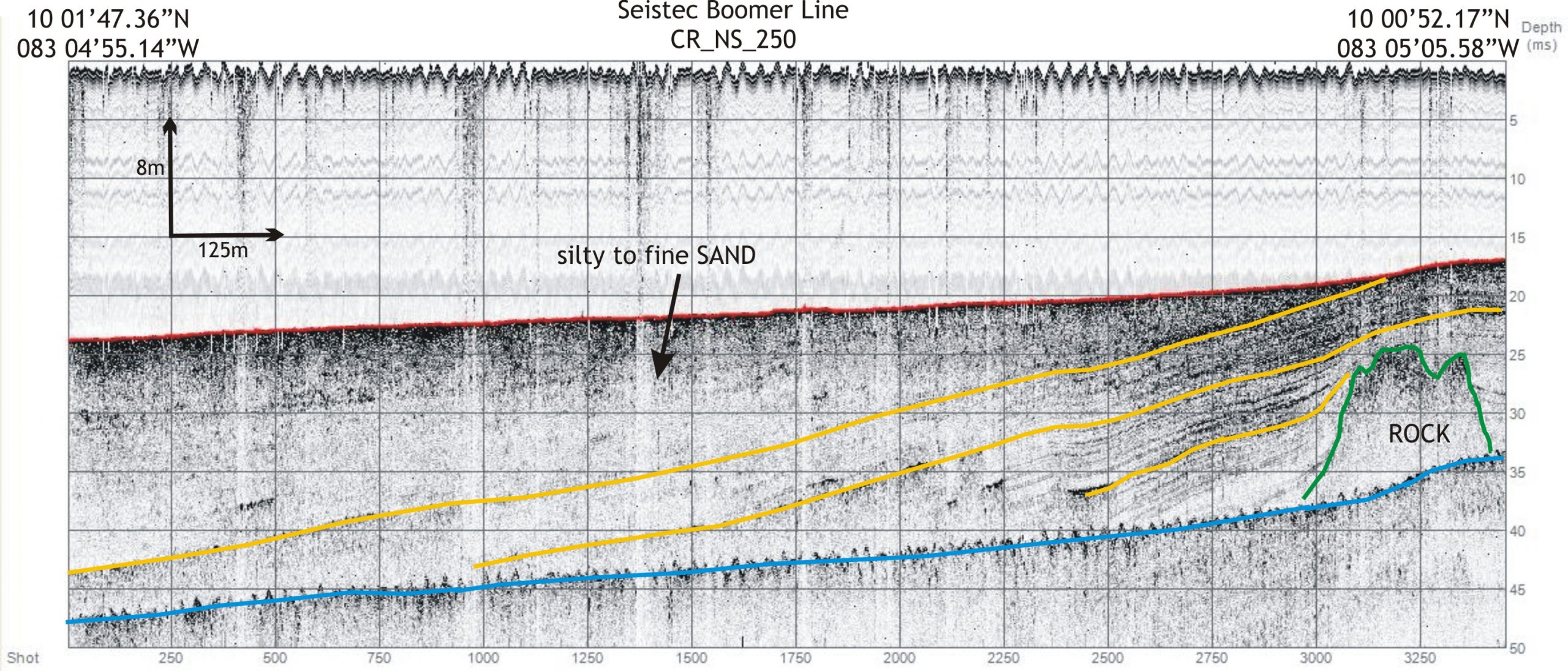
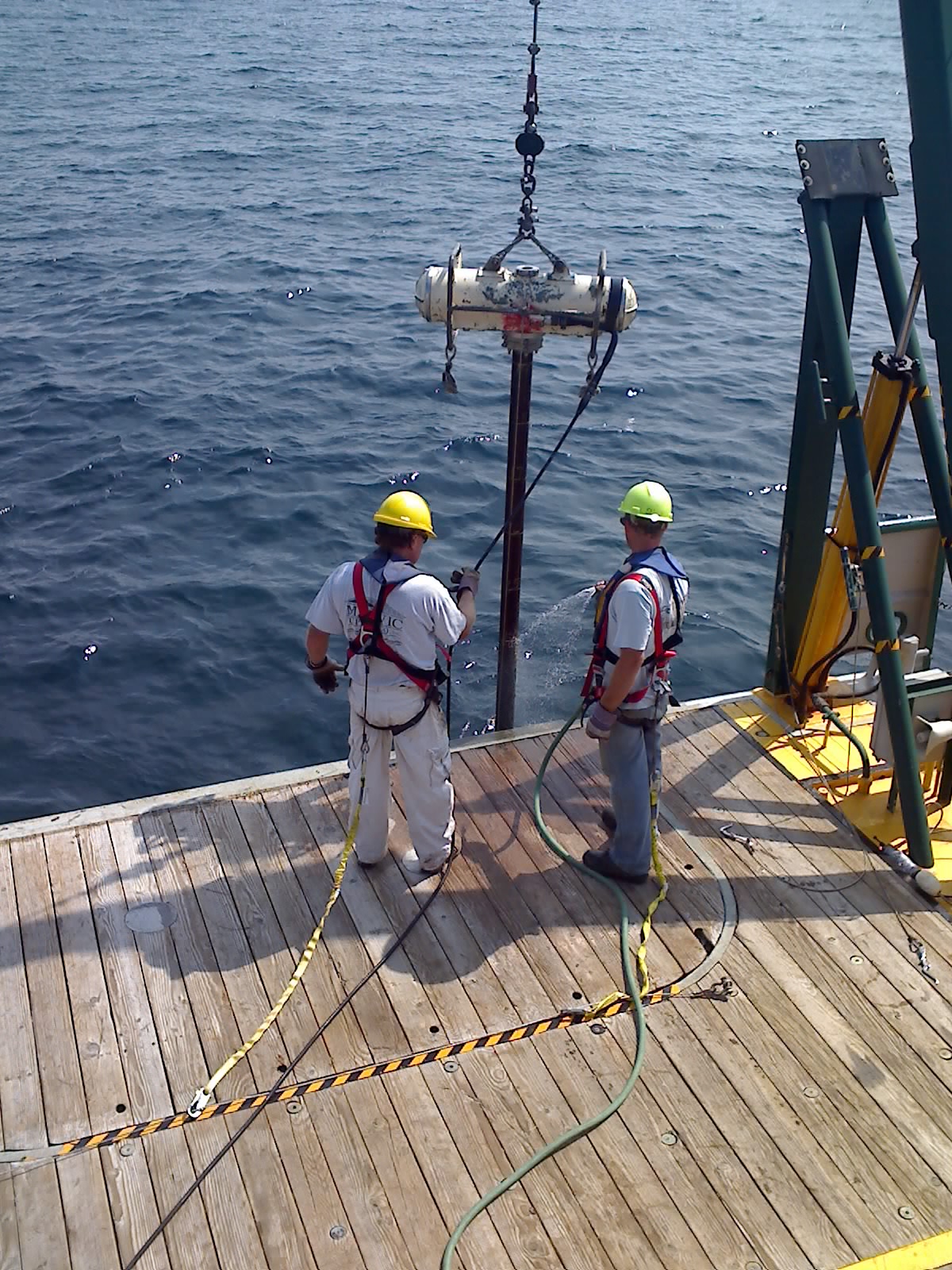
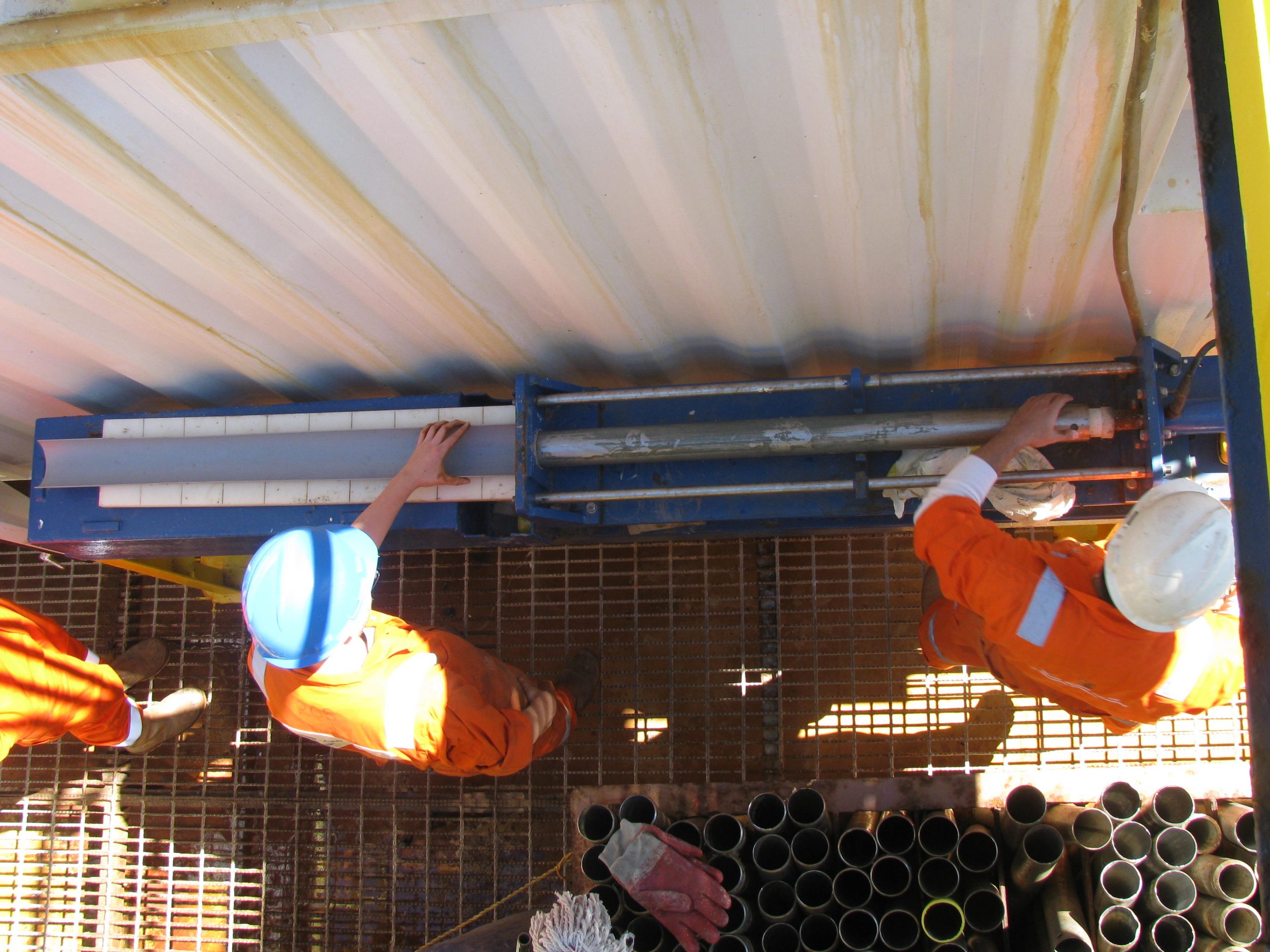
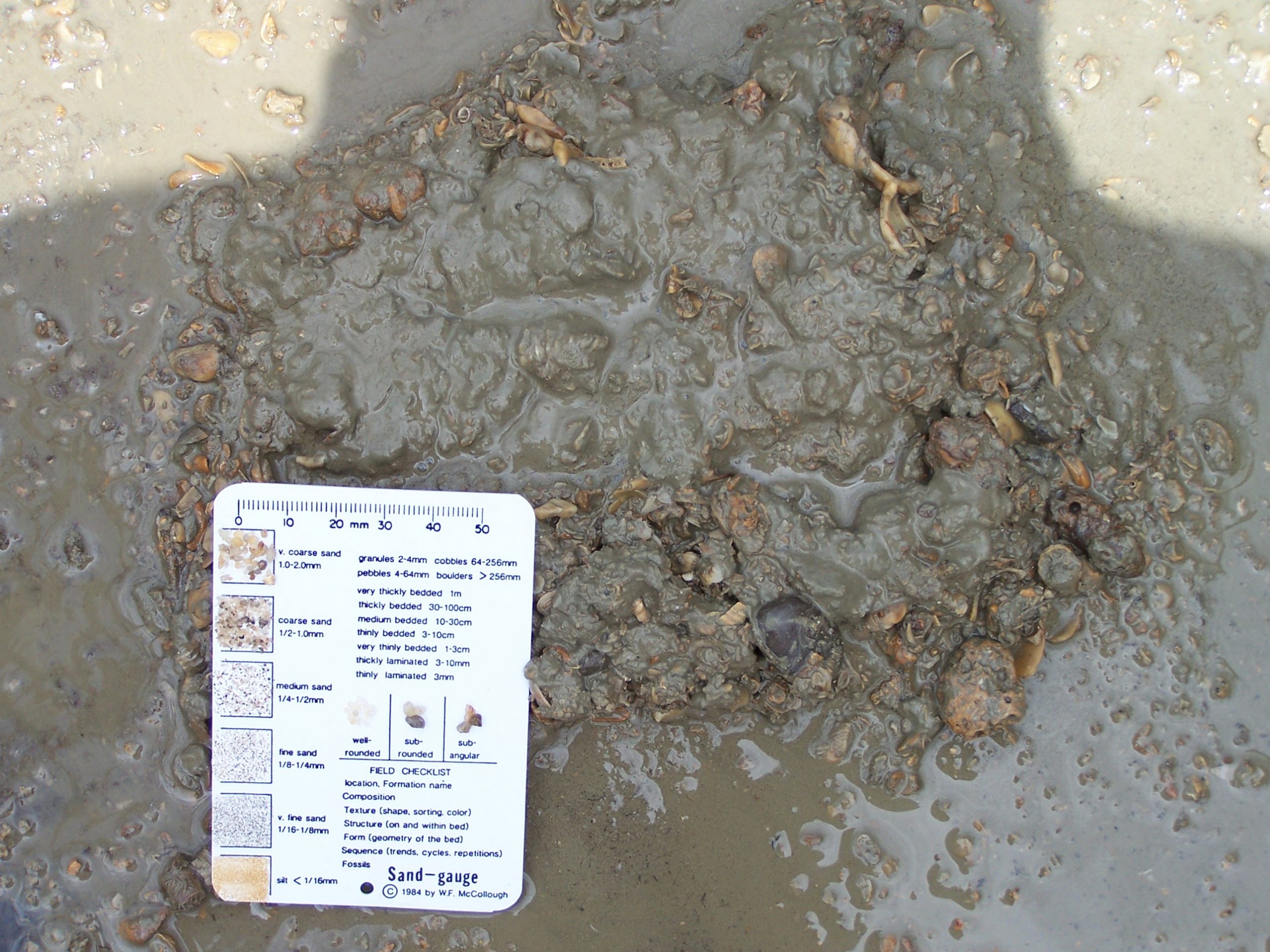
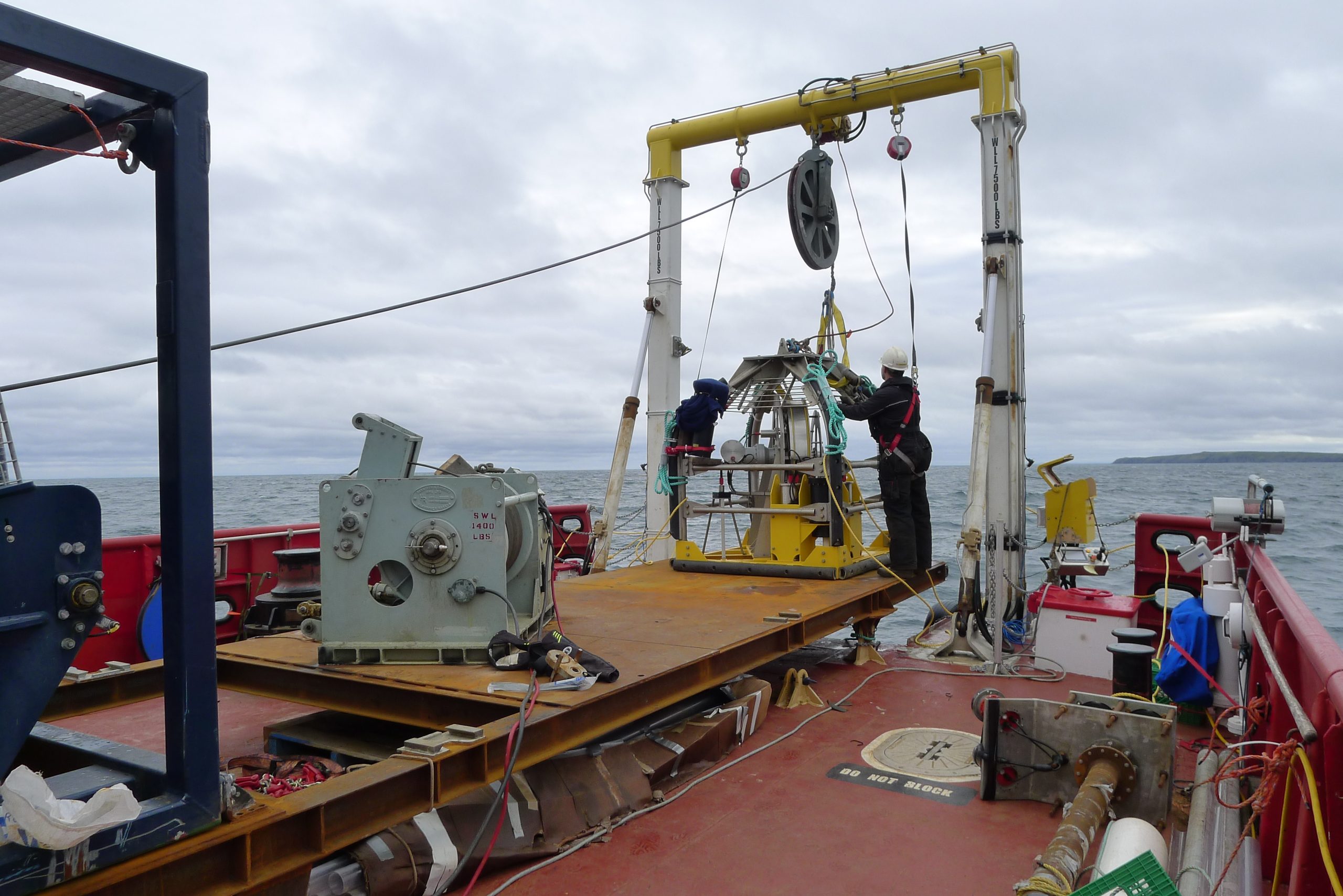
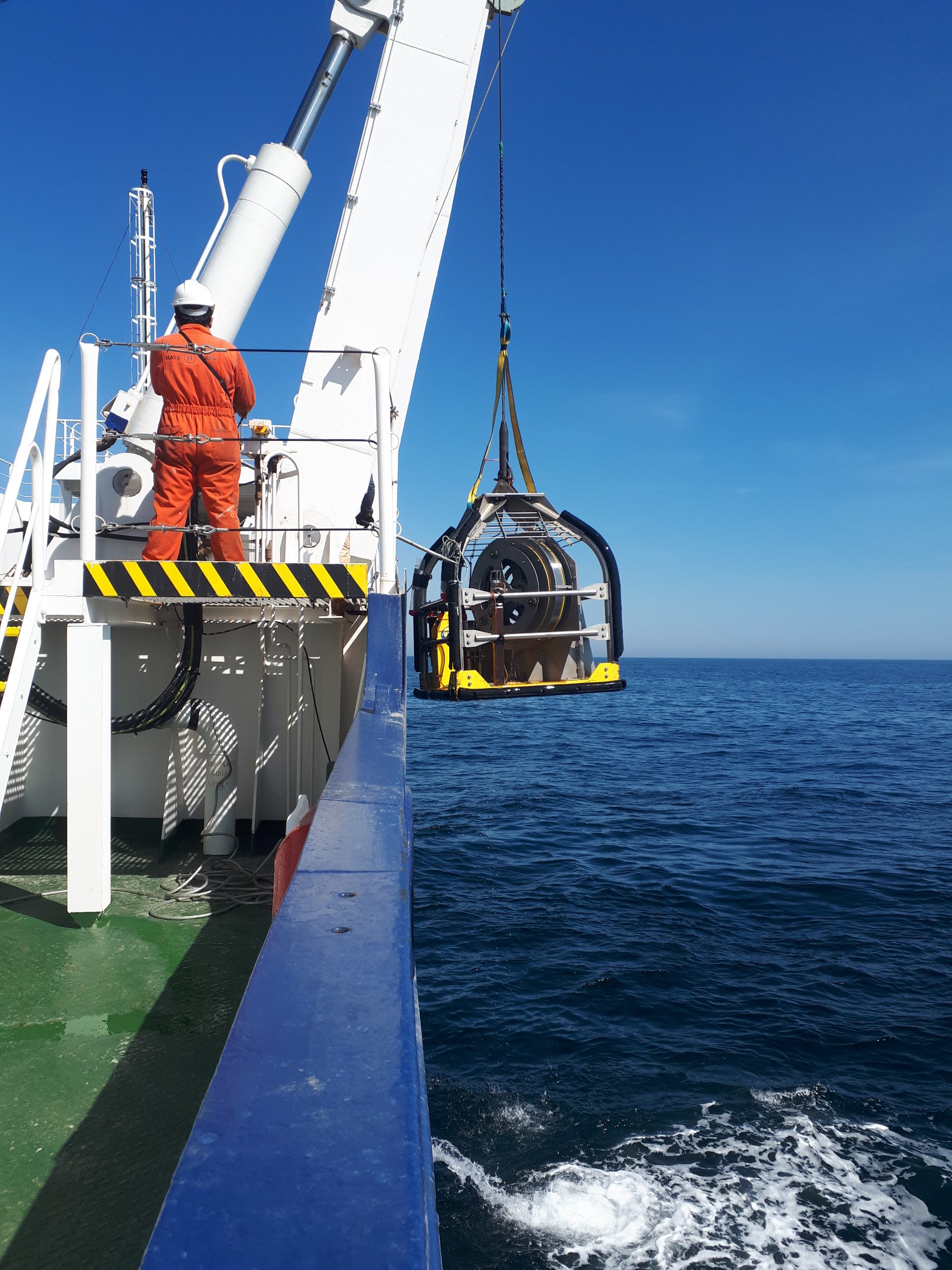
- Geophysical & geotechnical investigations
- Geochemical investigations and analysis
- Precise navigation & positioning
- Project management
- Law of the Sea (UNCLOS) consultancy
- Oil field site surveys
- Support services for data acquisition, processing, interpretation and management.
- Marine renewable energy site investigations (tidal, wave, wind)
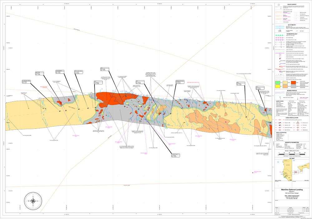
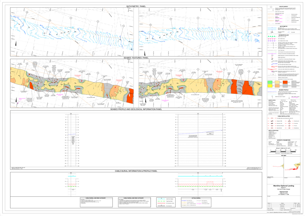
- Cable and pipeline route surveys
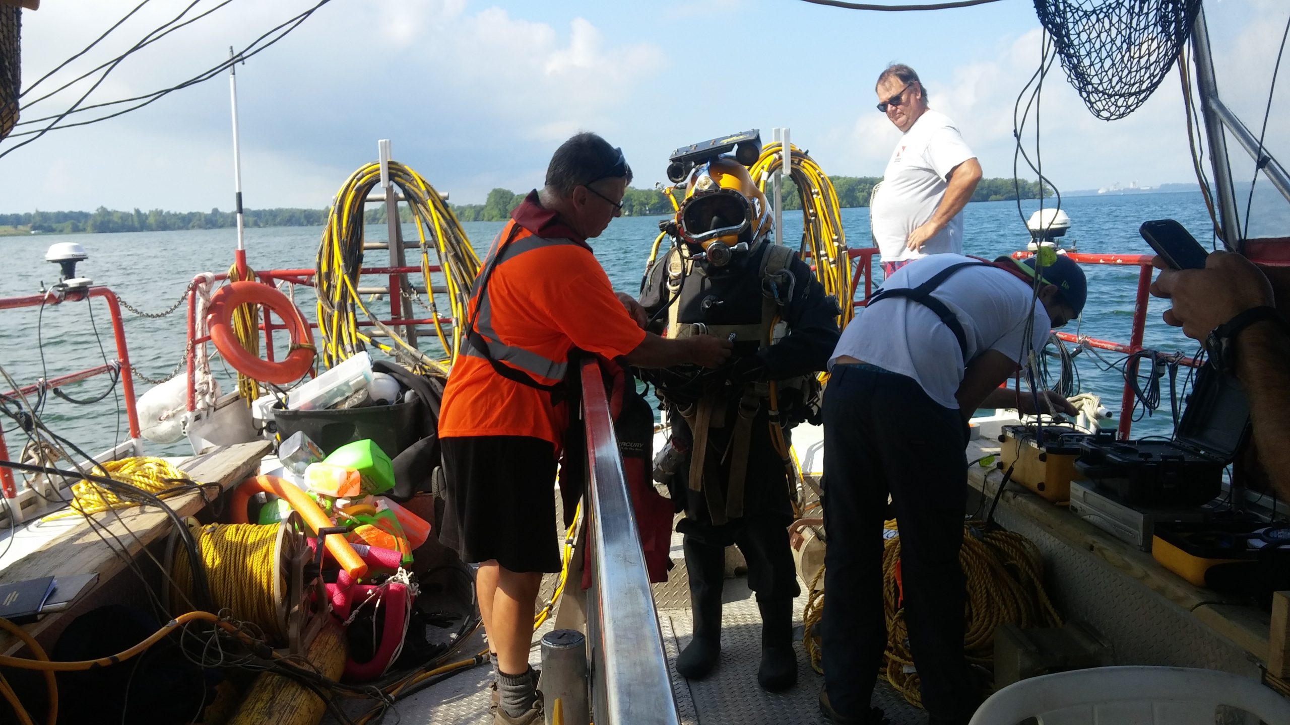
- Port development & dredging surveys
- Environmental impact, assessment and monitoring
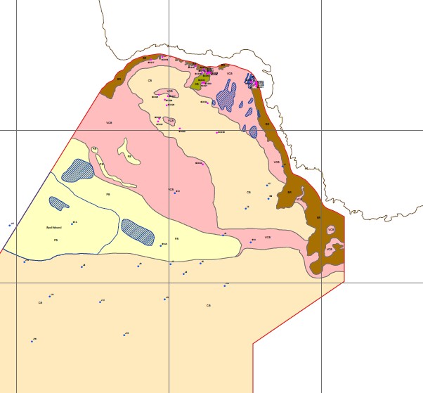
- Coastal zone & benthic habitat mapping
- Environmental and geological research
- UXO site investigation
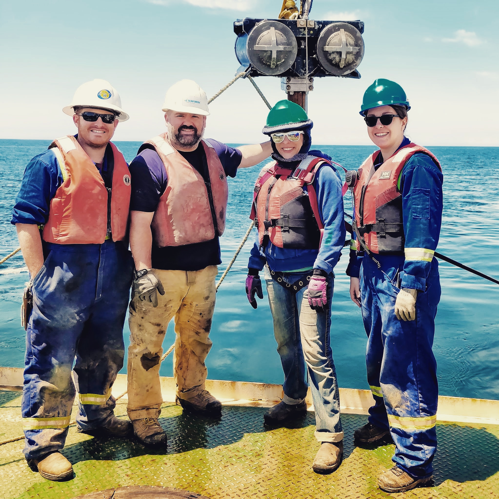
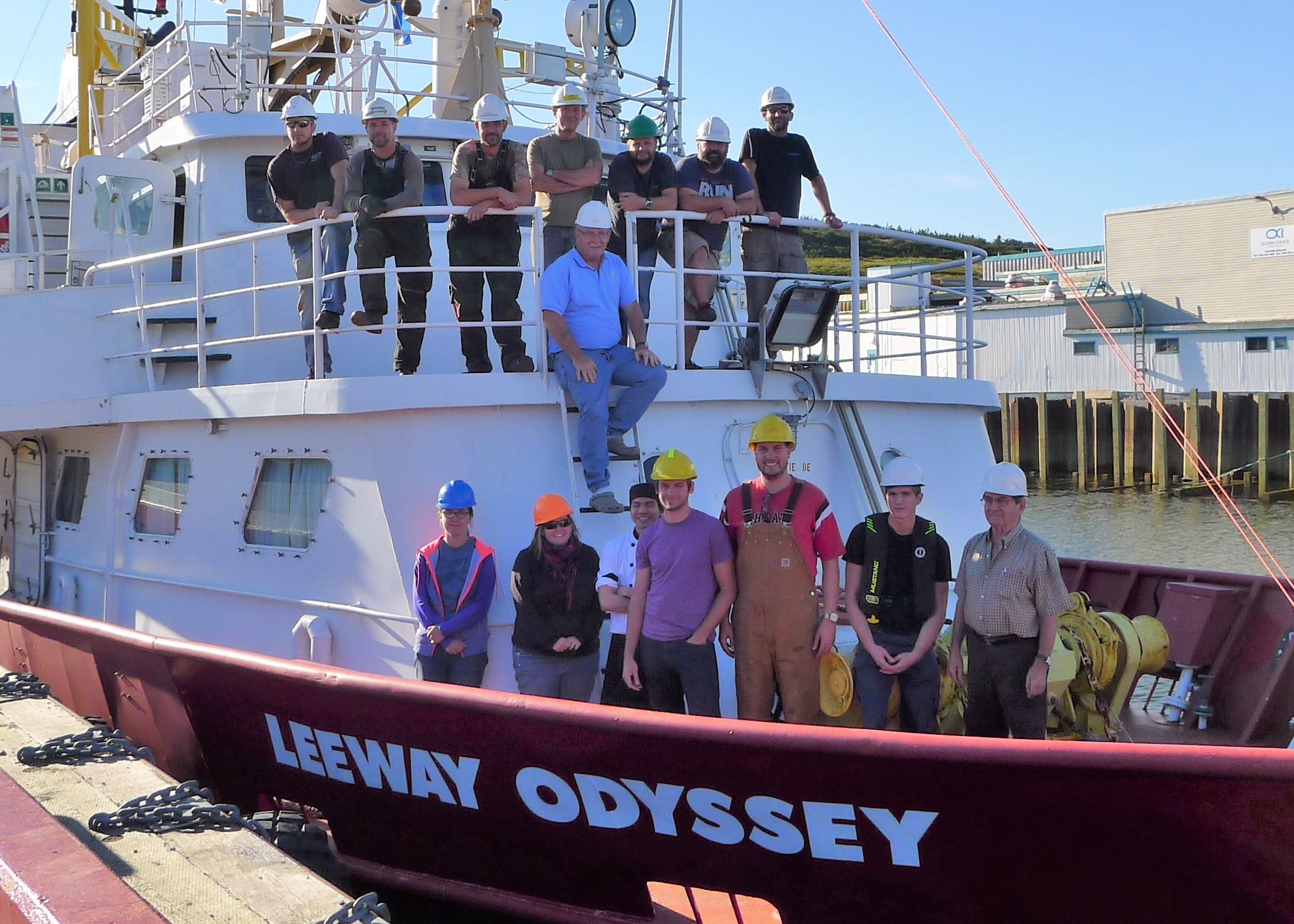
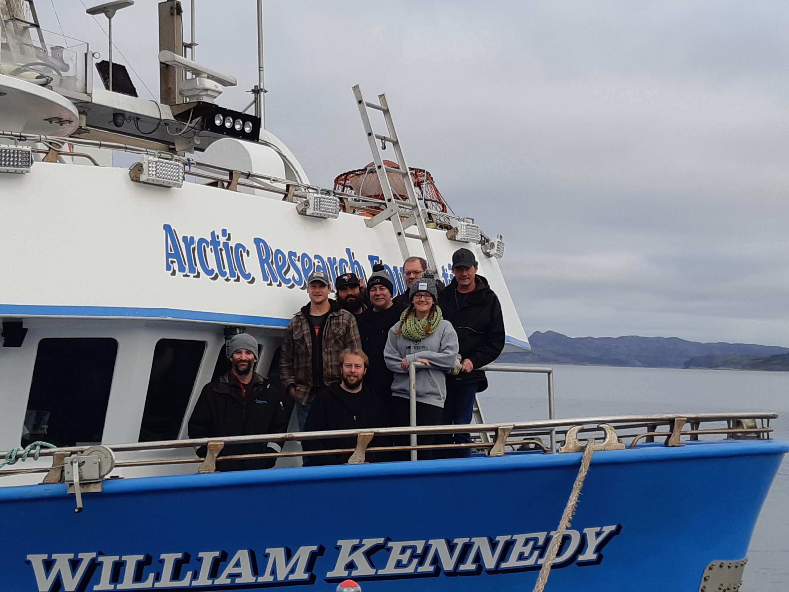
Our team of personnel includes project managers, professional geophysicists, geologists and engineers, SHE consultants, surveyors, hydrographers, electronic technologists, GIS/CAD technicians, cartographers and others.
Through delivery of our professional services, Seaforth maintains a steadfast commitment to client satisfaction and provides survey solutions tailored to project specific requirements.
Seaforth is certified and operates to the ISO 9001 standard.

