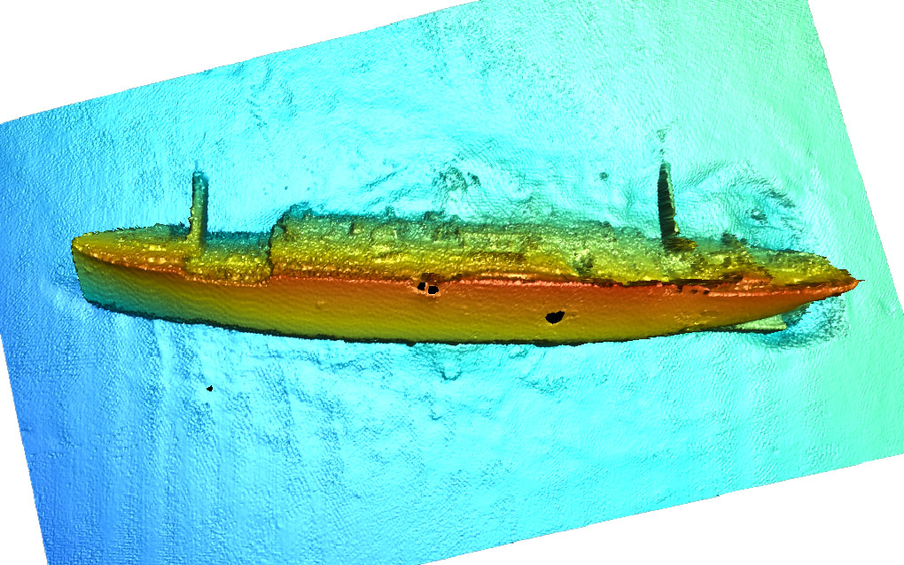
Ocean Mapping Services
Integrated ocean mapping encompasses multiple facets of the marine environment including the physical (high resolution bathymetry), biological, geological, chemical and archaeological to comprehensively characterize the marine environment. Integrated ocean mapping data satisfies the critical need for:
- Detailed charts allowing safe navigation
- General science data
- Marine management policy
- Baseline data for future marine management needs
Comprehensive integrated ocean mapping vessels commonly consist of sonar technology for bathymetry and benthic habitat characterization, mid-water multibeam for pelagic resource mapping, and low frequency towed source survey for geological mapping.
Using the latest industry technology, our ocean mapping service capabilities are extensive. Seaforth provides the following general ocean mapping services:
- Hydrographic & oceanographic surveys
- Harbour development
- Navigational hazard surveys
- UXO surveys
- Coastal and benthic and habitat mapping