Seafloor Mapping and Seep Sampling Program
During the summer of 2014, Seaforth Geosurveys Inc. was contracted by TGS Canada Ltd. (TGS) to conduct a seabed mapping program to identify and characterize potential petroleum systems offshore Newfoundland and Labrador. The objective of this project was to enhance the understanding of the prospect potential of known and recently discovered petroleum basins in the Labrador Shelf region.
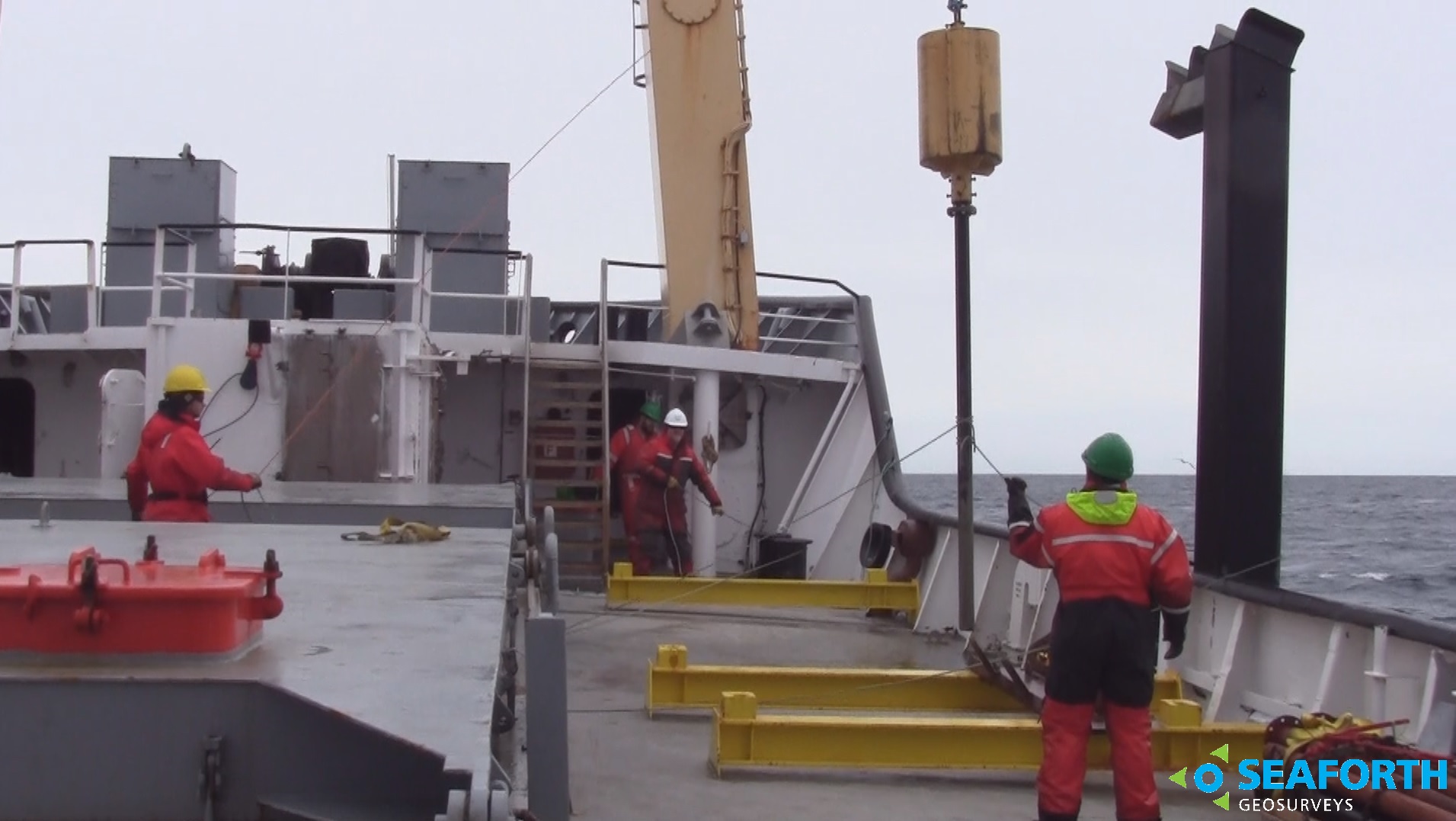
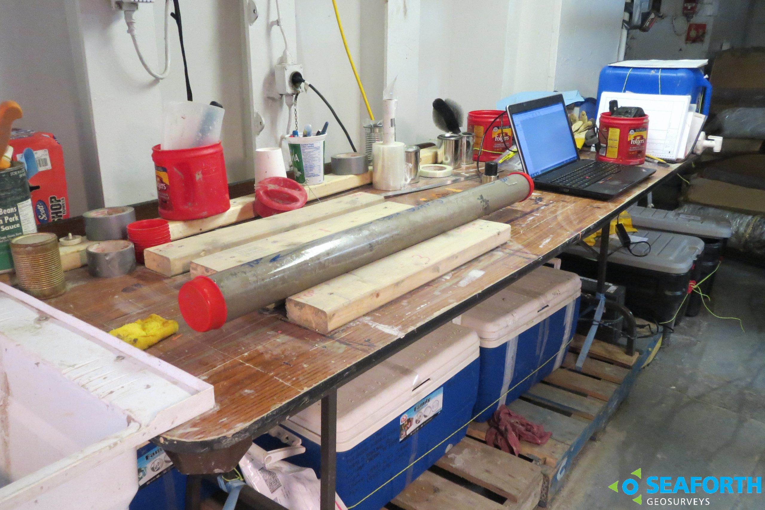
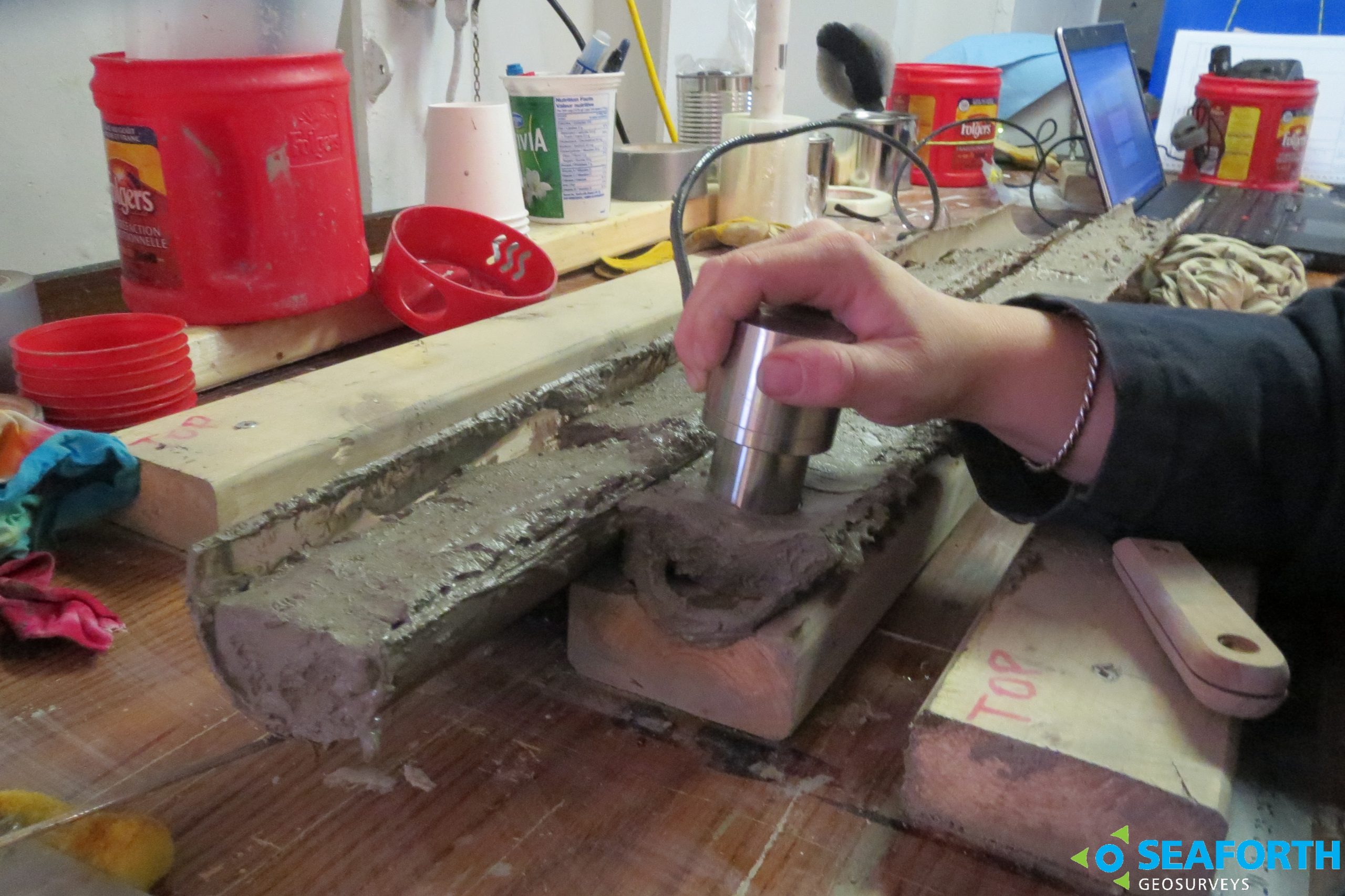
The survey collected samples of natural oil slicks (seeps) as identified on satellite imagery and seafloor Heat-Flow (HF) probes in Client specified locations within specific areas of interest. Based on board the Seaforth chartered MV Polar Prince, the services provided also included acquisition of analogue geophysical subbottom profiles, hydrocarbon seep samples via gravity core and slick samples, on board measurement of thermal conductivity, and preservation of samples for post survey analysis on shore. Analyses of seep samples can provide information on the depositional environment, maturation and age of the source, while the measured geothermal gradient will constrain basin models.