Seaforth and Hughes Survey team up for LNG project
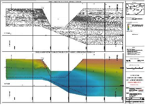
REPSOL YPF of Spain and IRVING OIL Limited are developing a LNG terminal at Saint John, New Brunswick adjacent to the Irving Canaport Facility. A detailed geophysical and hydrographic survey of the area was conducted in 2004 in the area of the proposed berth, and a new survey was required to determine the depth of water in the approaches to the berth, and to obtain estimated overburden thickness for the marine structure locations.
The survey was conducted in two areas. The survey over the first area was to produce subbottom profiles that identify the bedrock surface and thickness of the soils overlying the bedrock. The second part of the survey was intended to provide bathymetric data in a defined area.
Multibeam and sidescan data was collected over the area in order to produce a plan showing 0.5 meter contours and a sidescan sonar image of the area. Hughes Surveys, together with Seaforth Engineering, have provided high-resolution marine geophysical and bathymetric surveys using a locally owned and operated survey vessel to acquire the multibeam, sidescan sonar and sub-bottom profiler data sets over the area as defined by the scope of work and associated maps. The vessel was mobbed locally with multibeam and single beam echo sounders, sidescan sonar, sub-bottom profiler, survey gyro, motion sensor, sound velocity profiler and a DGPS based navigation system.
The survey was an excellent example of cooperation between local companies, each leveraging their experience and expertise to provide an excellent product to the customer. All bathymetric data was digitally acquired and recorded, and corrected for tide/height using the RTK – DGPS data. Analysis and Presentation software was employed to further process and present the cleaned soundings. Soundings were processed for overplot removal. The cleaned soundings were also available for inclusion in a hydrographic database, and can be manipulated for cartographic chart compilation, design calculations for marine construction works, dredging calculations, marine utility cable or pipeline route surveys, and for other hydrographic related requirements.

