Data Cable Position Assessment Survey
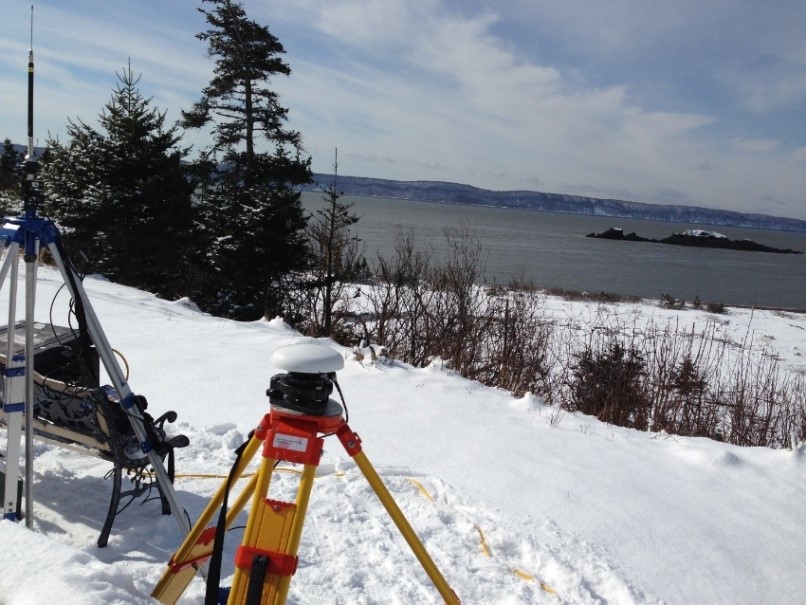
In March of 2014, Fundy Ocean Research Centre for Energy (FORCE) contracted Seaforth Geosurveys Inc. for the provision of a marine survey to assess the condition of an existing data cable installed the previous Fall near the Minas Passage, Bay of Fundy. Seaforth utilized multiple marine survey instruments in order to accurately position-assess the condition of this cable, including the acquisition of high-resolution multibeam backscatter data and sidescan sonar data, marine magnetometer measurements, and drop camera imagery for data validation and visualization.
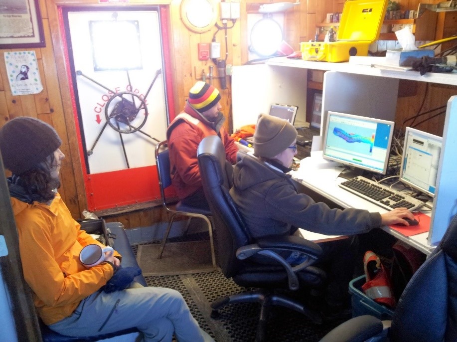
During these survey operations, Seaforth assisted Dominion Diving with the deployment of a Mini-ROV to assess and determine whether it could withstand the strong tidal currents present at the site.