Saint John Marine Terminal Extension – Multibeam Interpretation
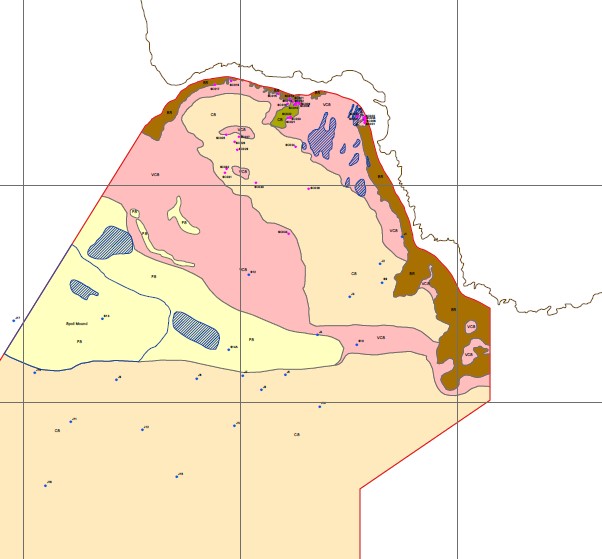
In the Fall of 2014, Seaforth Geosurveys Inc. assisted in the processing and surficial geological interpretation of multibeam data previously surveyed by Seaforth across an area of interest located south of Black Point near the Irving Oil SBM in Saint John, NB. The interpreted data was used to produce a surficial sediment distribution map to serve as a basis of the Front End Engineering Design (FEED) effort pertaining to the construction of a proposed Marine Terminal Extension in the area.